Research
Four connected lines of work on how sub/urban space has been planned, valued, and made unequal, each paired with data that others can use.
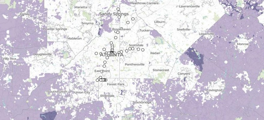
Zoning and land use
As Research Director of the National Zoning Atlas, I lead the analysis behind its statewide and regional zoning reports and use the Atlas to ask how local land-use rules shape housing supply, affordability, and segregation.
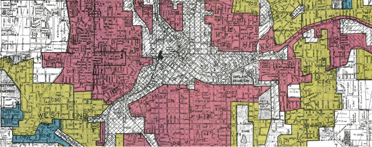
Redlining and the HOLC
I tabulated the Home Owners’ Loan Corporation’s Area Descriptions and use them to rethink what the “redlining” maps were for and how race was built into theories of real estate value.
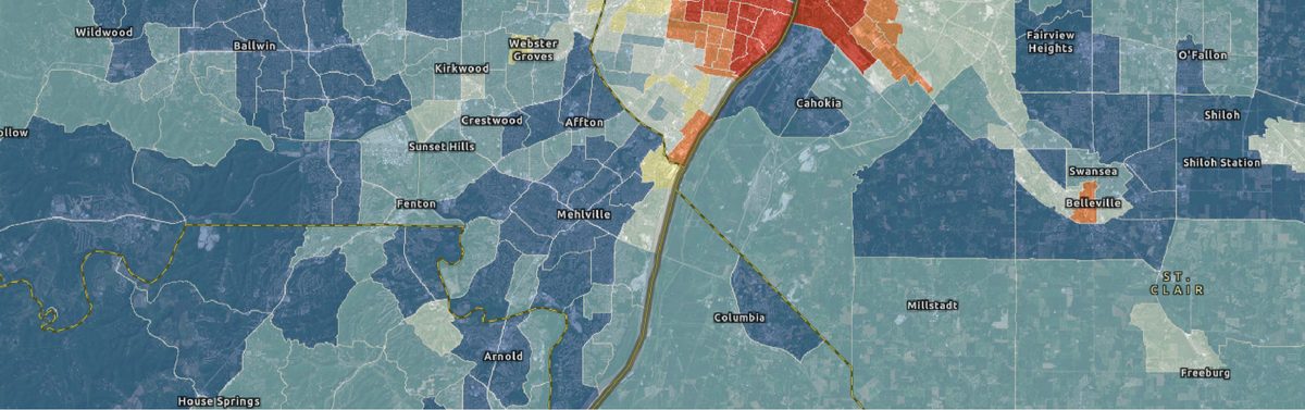
Historical housing and urbanization
HHUUD10 estimates housing units and urbanization in consistent census tracts for the continental US from 1940 to 2019, opening up the historical geographies of urban renewal and sub/urbanization.
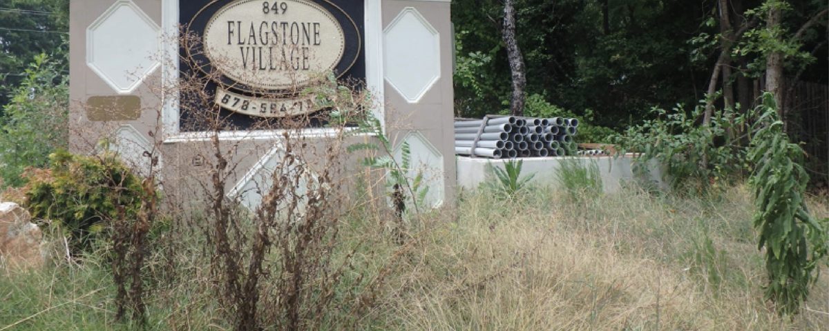
Sub/urban displacement
My earliest work followed the apartment demolitions that pushed thousands of Latino and Black residents out of Atlanta’s northern suburbs in the name of New Urbanist redevelopment.