About me
- Research Director, National Zoning Atlas
- Chief Data Scientist, Land Use Labs
I am a geographer and spatial data scientist. My work employs critical quantitative methods and geospatial techniques to show how zoning, real estate, and housing markets have reproduced racial inequality across American cities and suburbs. I also build public-serving datasets, from historical housing estimates to standardized zoning data, so that researchers, planners, and residents can see these patterns for themselves.

Research
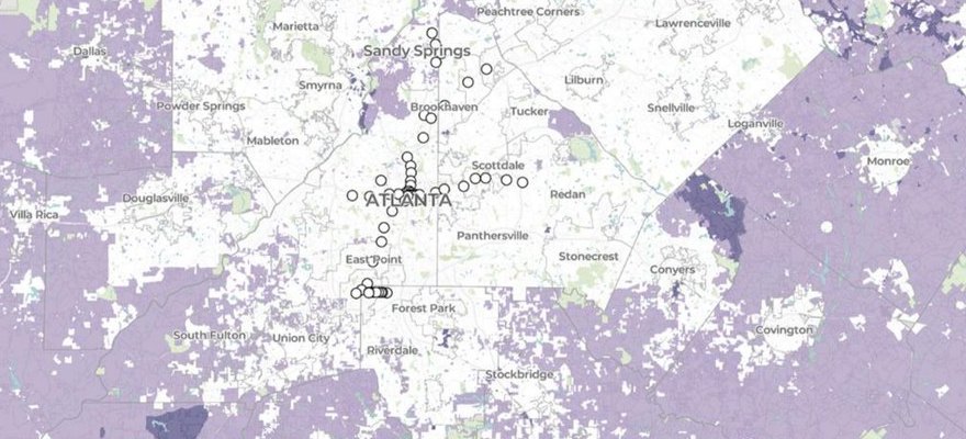
Zoning and land use
Building the National Zoning Atlas and using it to show how local land-use rules shape housing supply, affordability, and segregation.
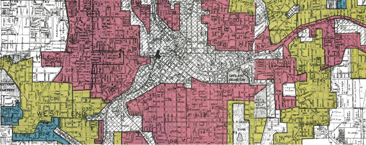
Redlining and the HOLC
Rethinking what the federal “redlining” maps were for, and what they reveal about race and value in real estate.
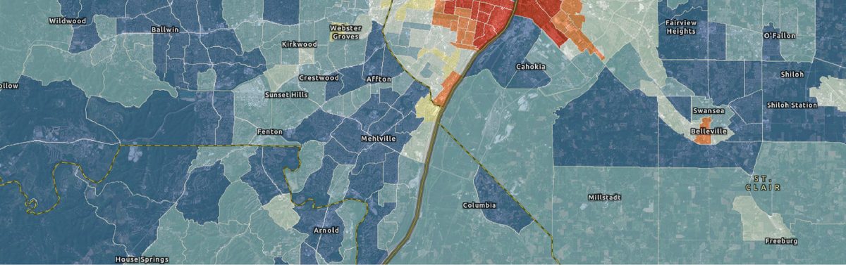
Historical housing and urbanization
HHUUD10: tract-level housing and urbanization estimates for the continental US, 1940 to 2019.
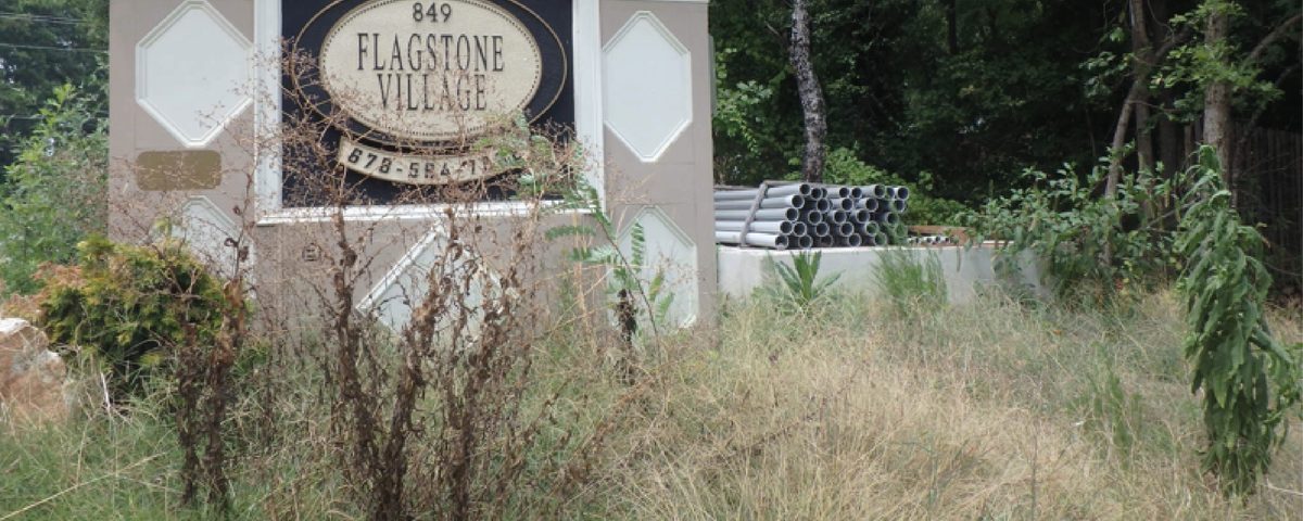
Sub/urban displacement
Apartment demolitions, New Urbanism, and the removal of Latino and Black residents from Atlanta’s northern suburbs.